Day hike: 9 miles round-trip to Glen Aulin High Sierra Camp
Backpack: 27 miles round-trip to McCabe Lakes
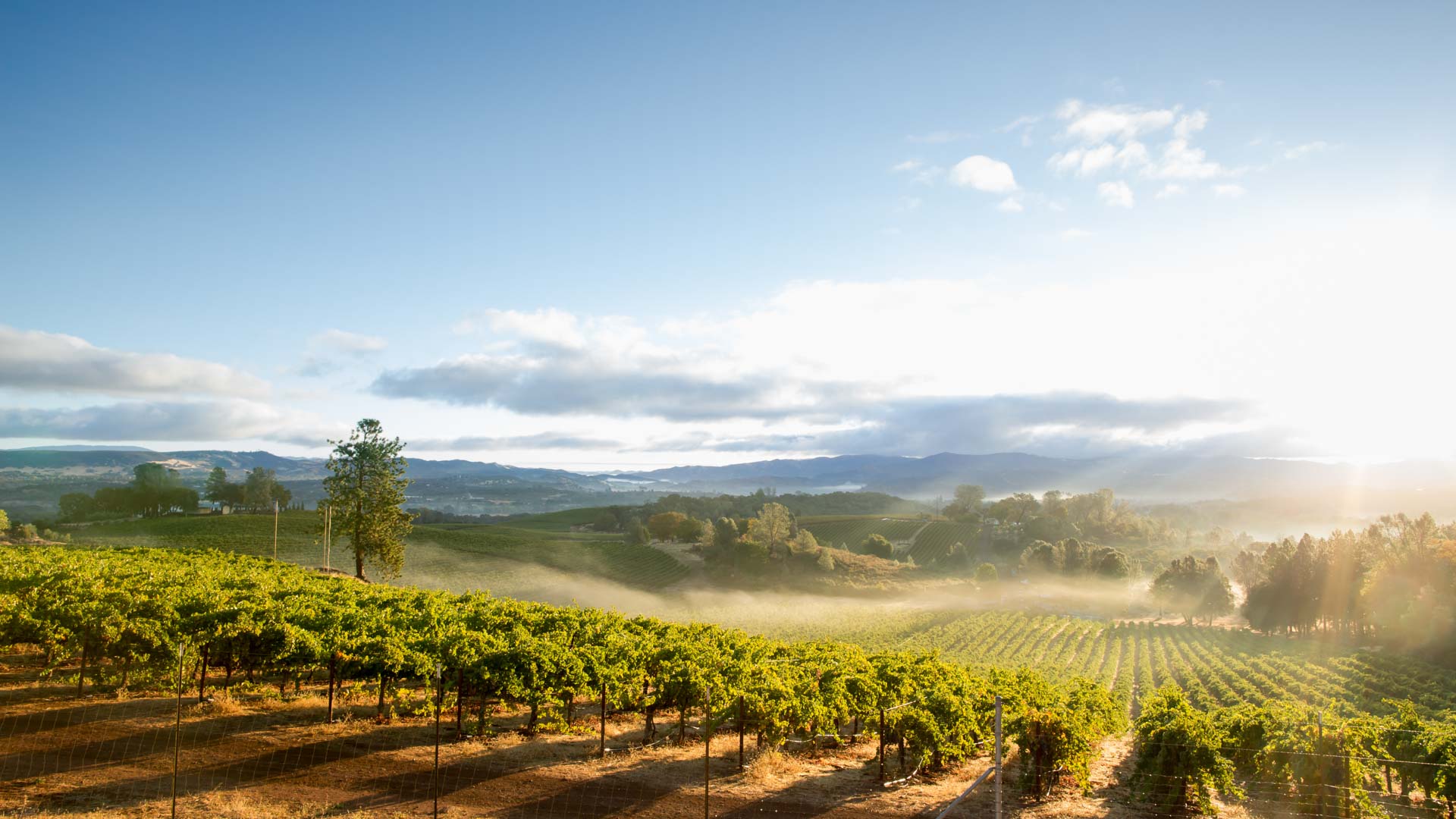
There’s a lot of argument about which stretch of the PCT has the most breathtaking scenery, but for lovers of high-alpine landscapes, it’s tough to beat the 77-mile stretch of trail from Yosemite’s Tuolumne Meadows—the largest subalpine meadow in the Sierra Nevada—northward to Sonora Pass. This is stark, fragile, granite country. The beauty of this region's glacial-cut peaks, gem-like lakes, verdant meadows, and abundant wildlife make it a hiking paradise. With a car shuttle, you can backpack the whole stretch in a week, or get a smaller taste with these out-and-back trips from Tuolumne Meadows. Wilderness permits are required; reserve yours far in advance.
At Tuolumne Meadows, the PCT starts out deceptively easy. The trail follows the boisterous, Tuolumne River for 4.5 miles, then veers right at Glen Aulin High Sierra Camp. The path gently descends, often tracing within a few feet of the river’s edge, until it reaches Glen Aulin, where Tuolumne Falls tumbles in a series of boulder-choked cascades. Day-hikers should make their destination the bridge at the falls’ base (on a hot day, take a bracing swim in the waterfall’s pool near Glen Aulin High Sierra Camp). Be sure to save some energy for the 1,000-foot elevation gain on the return.
Backpackers can find a campsite near Glen Aulin or a short distance downriver, then get a fresh start the next morning and continue north on the PCT, heading for the three gorgeous McCabe Lakes. You’ll leave the rushing Tuolumne River behind and take a mellow tromp up Cold Canyon through high-alpine meadows to the next trail junction, 7 miles farther. Bear right here, leaving the PCT. Follow the McCabe Lakes Trail alongside McCabe Creek, shadowed by the knife-like ridge of Shepherd’s Crest. After a moderate climb over 2 miles, you’ll reach the forested edge of Lower McCabe Lake, a good spot to set up camp and possibly catch some fish. Be sure to visit Middle and Upper McCabe Lakes as well, both above treeline and set in spectacular glacial cirques below 12,242-foot North Peak.